




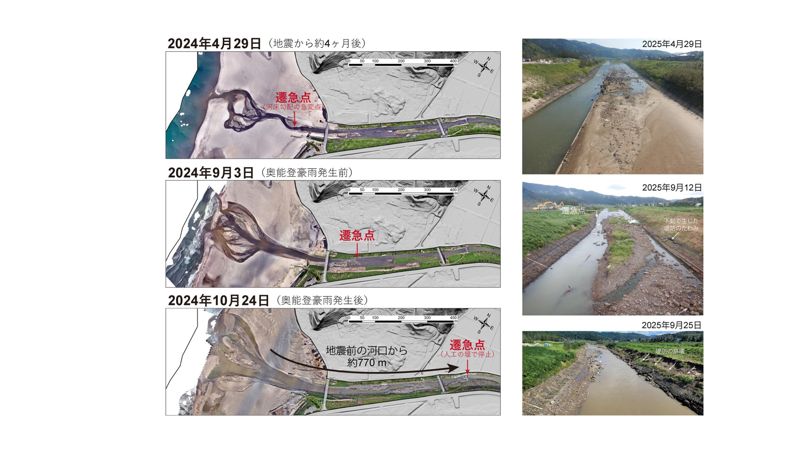
A research group consisting of Associate Professor Tatsuto Aoki of the Faculty of Regional Development Studies, Institute of Human and Social Sciences, Kanazawa University; Assistant Professor Takayuki Takahashi of the International Research Institute of Disaster Science, Tohoku University; Lecturer Takuro Ogura of the Graduate School of Social Sciences, Hitotsubashi University; and others monitored coastal rivers where nearly four meters of coastal uplift occurred as a result of the 2024 Noto Peninsula Earthquake and revealed that extremely rapid erosion has been taking place.
These findings represent not only an important scientific discovery in geomorphology but also provide valuable insights for river management and disaster prevention measures in regions where earthquake-induced uplift may occur.
The study was initiated by Associate Professor Aoki's observation of channel incision in the Hakka River immediately after the earthquake. In addition to participating in multiple field surveys, he took advantage of the University's proximity to the affected area and conducted observations of river incision in the Hakka River immediately after the Oku-Noto heavy rainfall disaster, contributing to the advancement of the research. The photograph that was selected as the Featured Image of the paper (Figure 2) was also taken by Associate Professor Aoki.
The results of this research were published on September 14, 2026, in "Communications Earth & Environment" a journal published by the Nature Portfolio in the United Kingdom.
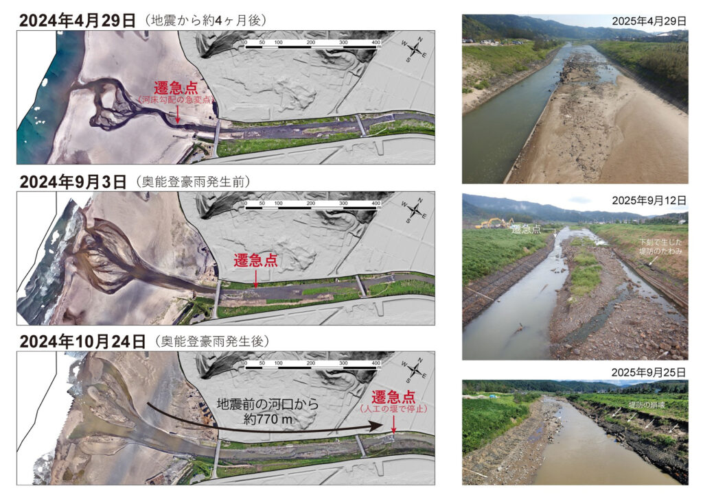
Figure 1:UAV images and field observations of the Hakka River during the first year following the Noto Peninsula Earthquake
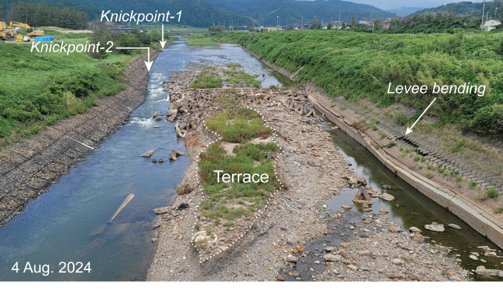
Figure 2:Featured Image of the paper, photographed by Associate Professor Aoki
【Glossary】
* Knickpoint
A point along a river profile where the channel gradient changes abruptly from a gentler slope to a steeper one. The crest of a waterfall is an example of a knickpoint. Knickpoints formed by tectonic movements or river capture migrate upstream over time, promoting downward erosion of the river channel.
Journal :Communications Earth & Environment
Researcher's Information: Tatsuto Aoki
Related Information
School of Regional Development Studies, College of Human and Social Sciences, Kanazawa University
Graduate School of Human and Socio-Environmental Studies, Kanazawa University
 PAGE TOP