


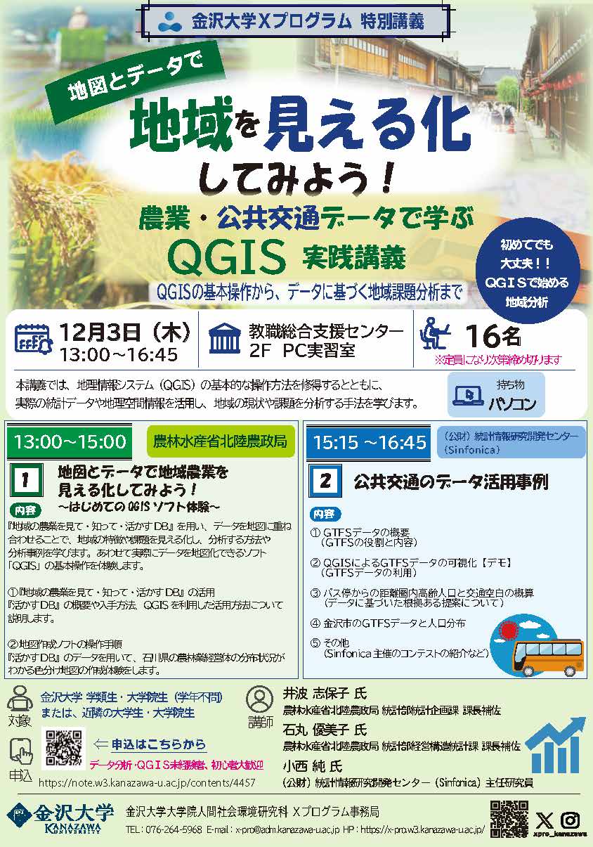
- Date and Time
- December 3, 2026 (Thu.) 13:00-16:45
- Place
- PC Training Room, 2nd Floor, Center for Teaching Profession, Kakuma Campus, Kanazawa University
- Target Attendees
- Kanazawa University undergraduate and graduate students, as well as undergraduate and graduate students from neighboring universities
- Number of applicants
- 16 participants
Event Details
In this workshop, participants will learn the basic operations of the geographic information system QGIS and visualize agricultural and public transportation data on maps. We look forward to your participation.
【Program】
13:00-15:00 Hokuriku Regional Agricultural Administration Office, Ministry of Agriculture, Forestry and Fisheries
“Visualizing Regional Agriculture with Maps and Data!
A First Experience with QGIS Software”
15:15-16:45 Statistical Information Institute for Consulting and Analysis
“Examples of Public Transportation Data Utilization”
*Please refer to the flyer for further details.
Recommended for Those Who:
・Are interested in map-based analysis
・Would like to try data visualization
・Are using QGIS for the first time
・Would like to learn more about regional issues and challenges
【What to Bring】A laptop computer
*Please note that the workshop will be conducted in Japanese only.
- Fee
- Free
- How to attend
- In-person only.
Advance registration is required. 【Please apply using the application form.】 - Application period
- Until November 27, 2026 (Fri.) at 17:00 *Registration will close once the maximum number of participants has been reached.
- attachment
Contact
Kanazawa University X Program Office (Student Affairs Division, Human and Social Administration Department, Kanazawa University) E-mail:x-pro(a)adm.kanazawa-u.ac.jp *Please replace (a) with @.
 PAGE TOP